For the past two years, while living in Sarajevo, I came across a book titled The heroes of Treća Gimnazija by the american pedagogue David M. Berman.
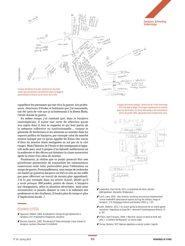
In his book, Berman narrates how schooling was carried on in the city of Sarajevo during the war and siege that took place between 1992 and 1996. Starting as scattered initiatives in basements, classes soon came to be part of a network put in place by the Pedagogical Institute and the school directors in town to keep up with the educational program. These makeshift spaces were called punkts, and considered a safer option to the school buildings, often destroyed or targeted. It is estimated that 300 punkts were disseminated in Sarajevo.
Berman’s story is very spatial; there are testimonies of the itinerary of the walks of some professors, also a detailed description based on schools almanacs of the network’s structuring in relation to the local communities. Local communities, or Mjesna Zajedniče MZ, are the smallest urban entity corresponding to a self-managed neighborhood. Indeed, the schooling punkts were distributed according to this already present pattern of MZ in the urban matrix: each school was responsible for a number of MZ and of the schooling punkt located in each MZ. In that way, all the students living in an MZ had to attend this point, thus avoiding dangerous displacements in the city, while teachers, instead, had to walk from their house to attend the different punkts.
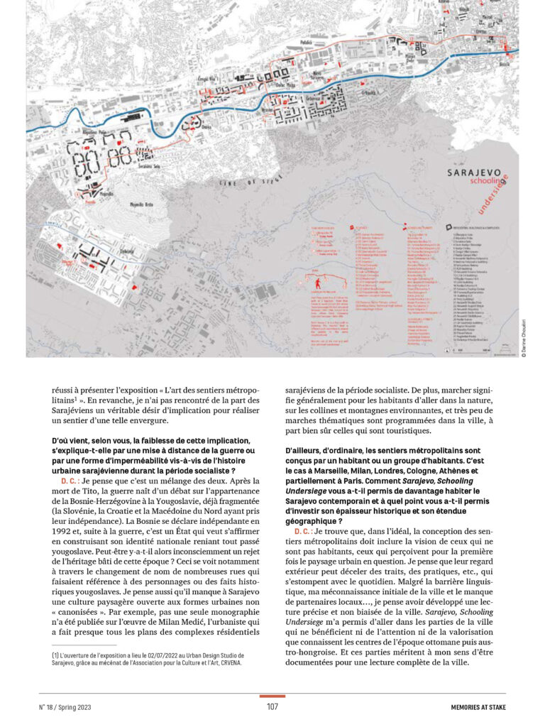
30 years later, I traced the itinerary of the director and of one of the professors of the Treća Gimnazija high school during the war. I also indicate all the schooling punkts that I could geo-locate on the map of Sarajevo under siege.
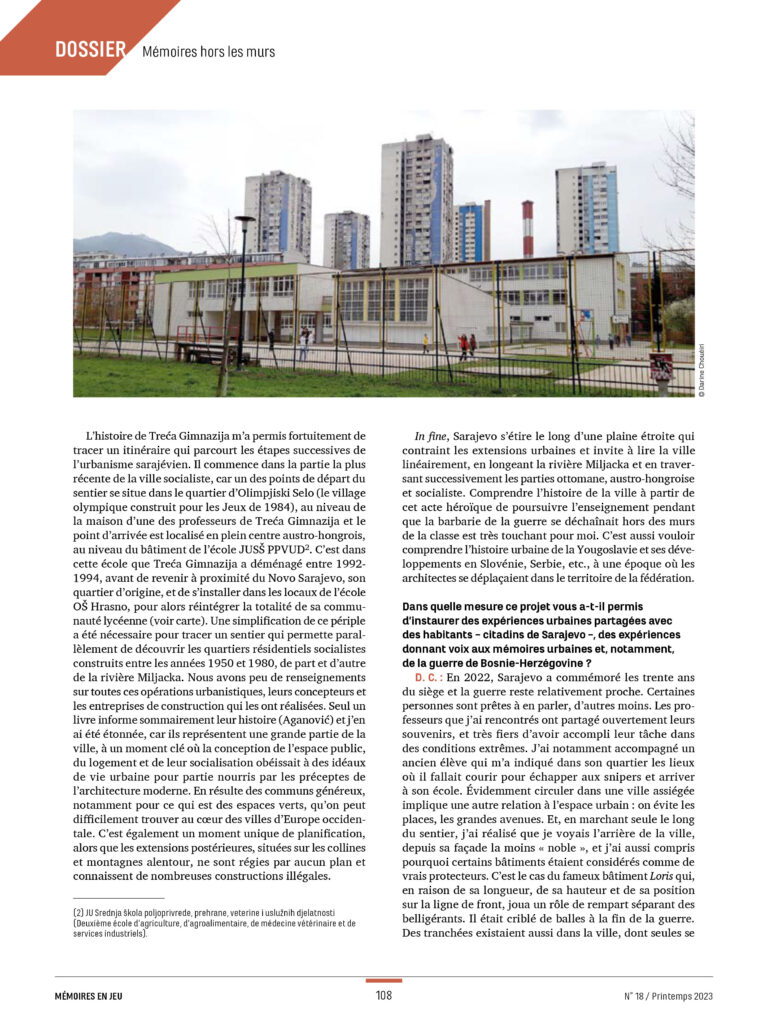
While walking along this itinerary, the cityscape unfolds. It was an opportunity and a coincidence that the trajectory of one of the professors almost crossed the town, from the newest Yugoslav socialist part until the 19th century Austro-Hungarian part of town, These spaces of everyday life, the large scale residential neighborhoods and buildings, are highlighted on the map and reclaim their right to archive in contrast to iconic architecture.
This endeavour, even if on a smaller scale, is part of the Sentiers Métropolitains network, where walking itineraries are projected in different cities in Europe but also in other cities like Boston or Tunis. In the spring of 2023, an interview realized by the geographer Jordi Ballesta regarding the project was published in the magazine Mémoires en Jeu for the issue n°18 under the theme Mémoires hors les murs.
